Acreage Aerials
For properties up to 15 acres
$125
Per property
- 20+ professionally edited aerial photos
- Multiple elevations and perspectives
- Property-line overlays when applicable
- Full-resolution files
- MLS-ready files
- 24-hour turnaround
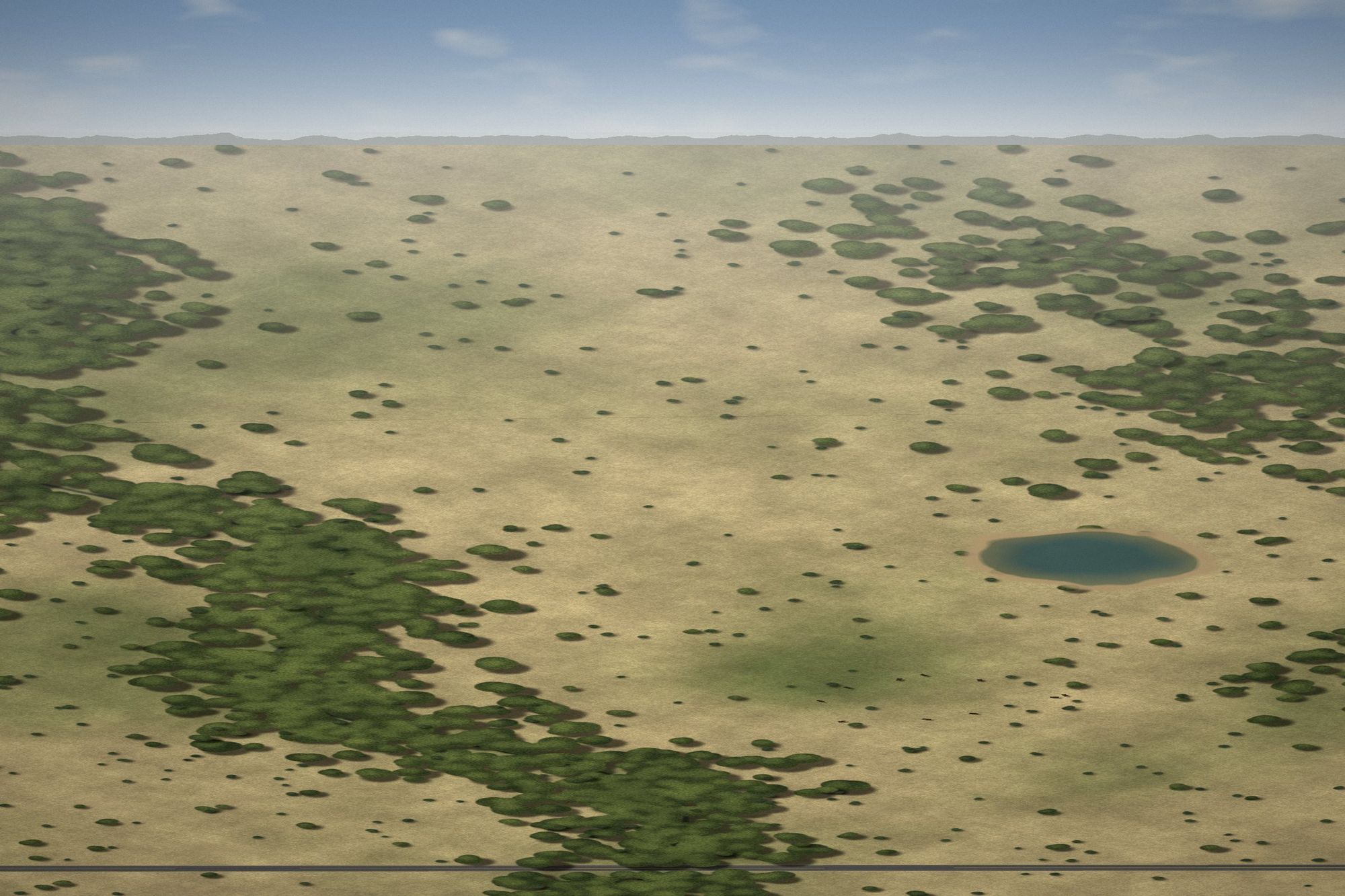
Aerial coverage built for ranch, land, and acreage listings. Edited photos, cinematic video, and approximate property lines, delivered within 24 hours.
Land sells on context: where the boundaries run, where the water is, how the tree lines and pasture lay out, and how the property meets the road. That is what our coverage is planned around.
Properties over 15 acres book under the Ranch & Large-Acreage package. Larger ranches outside our standard service area can still be booked; a travel fee may apply.
Every package includes professional editing, full-resolution and MLS-ready files, and 24-hour turnaround. No quotes, no back-and-forth.
For properties up to 15 acres
For properties over 15 acres
Photos plus a 30-60 second cinematic drone video
Complete aerial photo and video coverage
Standard delivery within 24 hours after the shoot is completed.
Approximate property-line overlays included when requested and boundary info is available.
Outside our standard area? You can still book. A travel fee may apply, and we will confirm it with you before your shoot.
Standard turnaround is within 24 hours following the shoot.
Approximate property-line overlays are included when requested and when adequate boundary information is provided.
No. They are approximate marketing graphics and are not a substitute for a survey.
We monitor wind, rain, visibility and lighting. If conditions aren't suitable for safe or quality drone operations, the shoot will be rescheduled.
Yes. Properties over 15 acres fall under the Ranch & Large-Acreage package.
Yes. The $199 photo + reel package allows either horizontal or vertical delivery.
Pick a package, choose your date, and upload a survey if you want property lines. Finished media is delivered within 24 hours of the shoot.